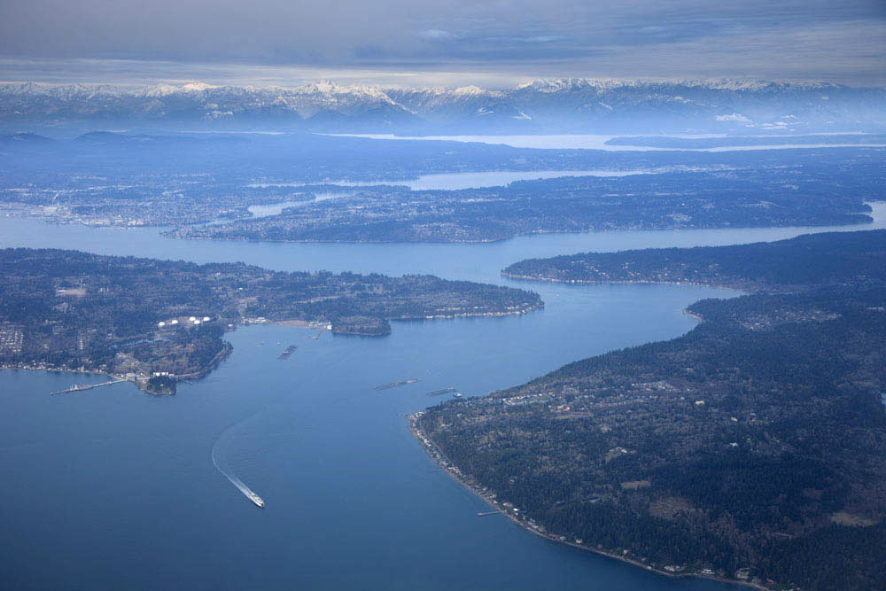
Aerial view of southern Puget Sound and the Olympic Mountains, Washington.
The Puget Sound area consists of numerous waterways and islands. These features are generally elongated in a north-south direction because of ice erosion during the last major glaciation in the region. During this period called the "Vashon Glacial advance", ice advanced slightly south of Olympia, Washington having originated from the Cordilleran ice sheet in Canada. It began its retreat some 14,000 years ago. The mountains of Olympic National Park make up the background.
Back to Miscellaneous Geology Images
Back to Geology Photos