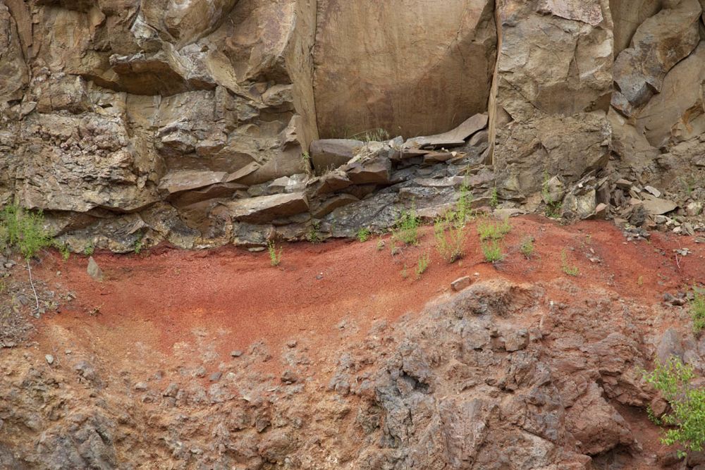
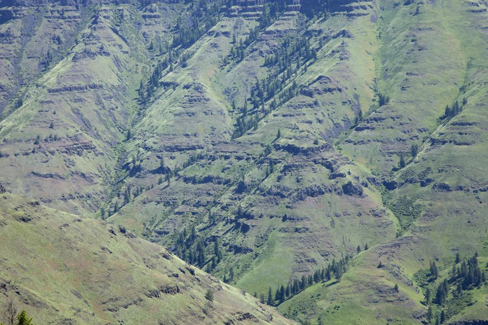
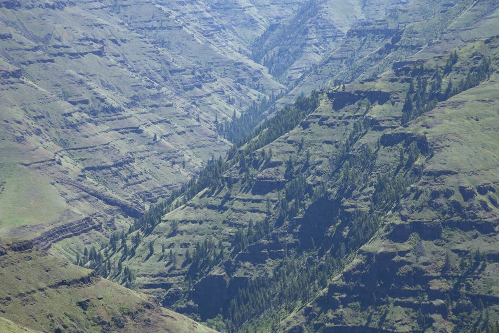
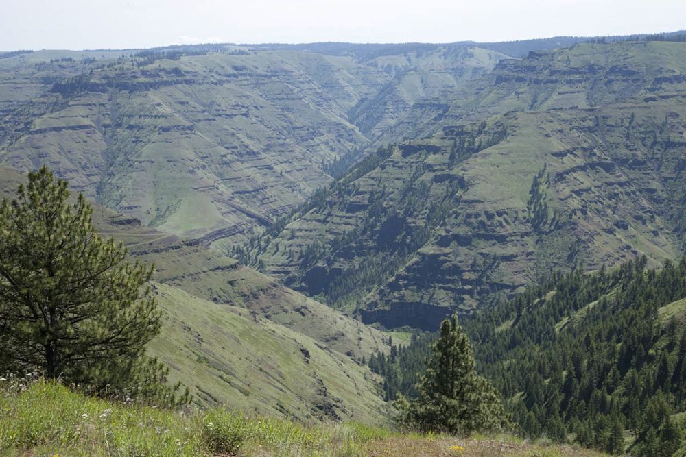
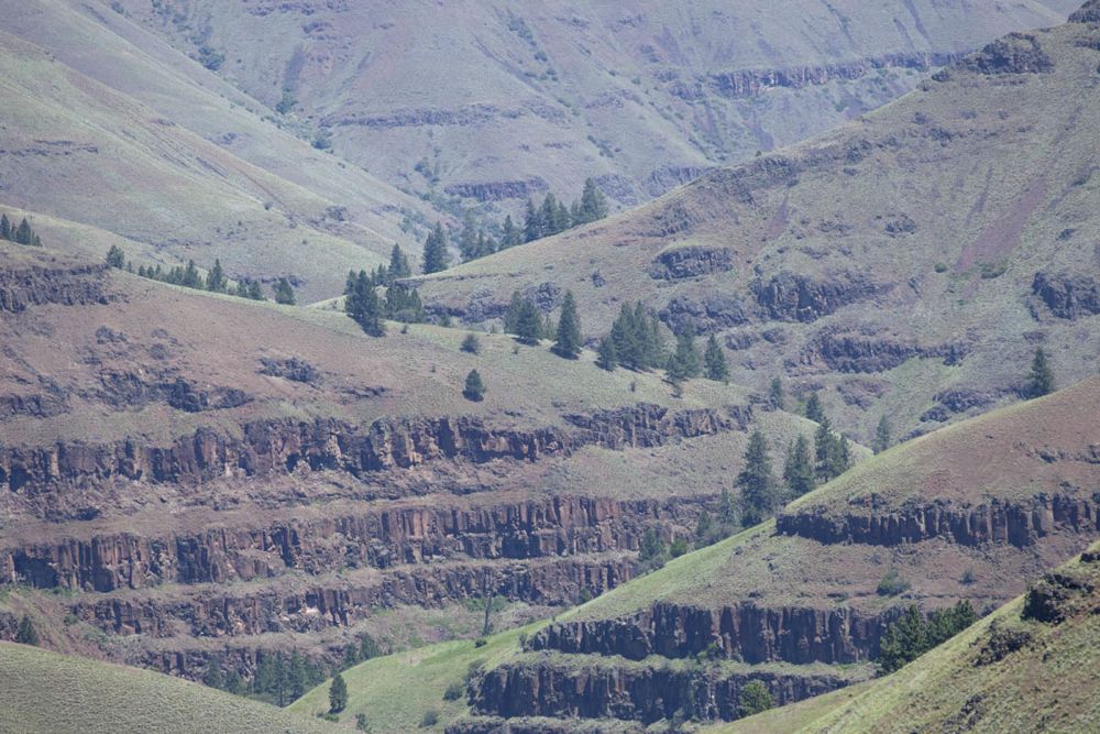
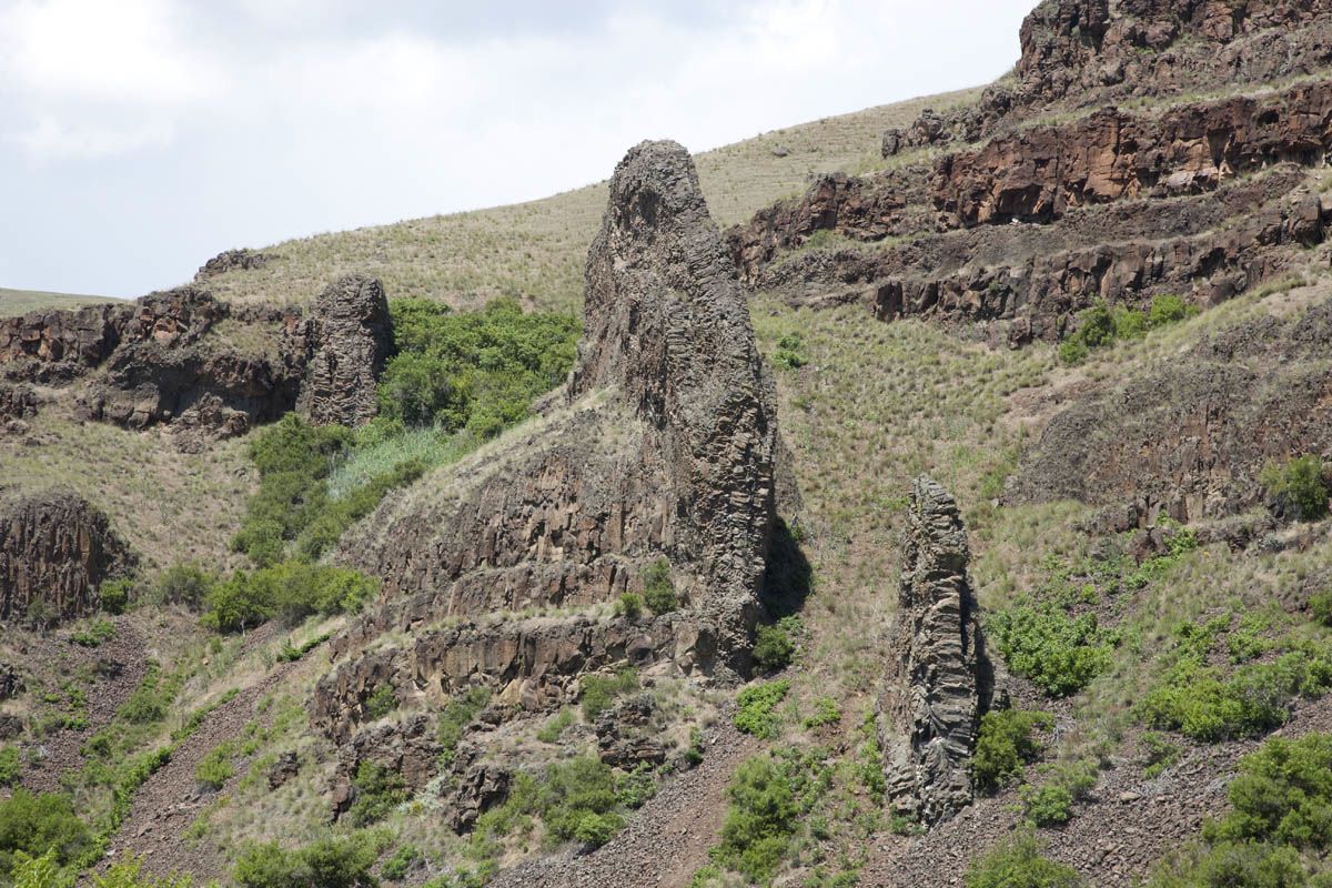
Some photos of the Columbia River Basalt in NE Oregon.
The Columbia River Basalt Group began erupting about 17.5 Ma, reached a peak around 16 Ma, and continued to erupt intermittently until about 7 Ma. The basalt flows, are called "flood basalts" because they literally flooded the landscape, having originated from fissures in northeastern Oregon and southeastern Washington. All told, the flows covered more than 200,000 km2 of land in Oregon and Washington with a volume greater than 220,000 km3.
These photos are of the Grande Ronde Basalt in the northeastern corner of Oregon, the most voluminous part of the Columbia River Basalt.
|
|
|
|
|
|
Click here to see captions and larger versions of these images of the Grande Ronde Basalt
Go to Geology Images
Go to news.