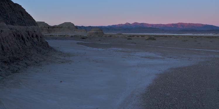
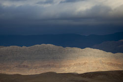
Amargosa Valley near Tecopa
Some photos of the Amargosa Valley, California.
The Amargosa Valley lies astride the California-Nevada border, just east of Death Valley. It begins in the vicinity of Beatty, Nevada and continues some 100 miles southward to Tecopa, California where it ends at the Sperry Hills. The Amargosa River, however, an ephemeral stream that drains the Amargosa valley, issues from wetlands at Ash Meadows some 50 miles south of Beatty, and then cuts through the Sperry Hills in Amargosa Canyon. From there, it flows to the north side of the Avawatz Mountains and then bends westward and northward to empty into Death Valley.
Amargosa Valley near Tecopa |
Click on any of the photos below for an enlarged version and more descriptive caption.
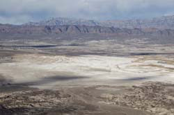
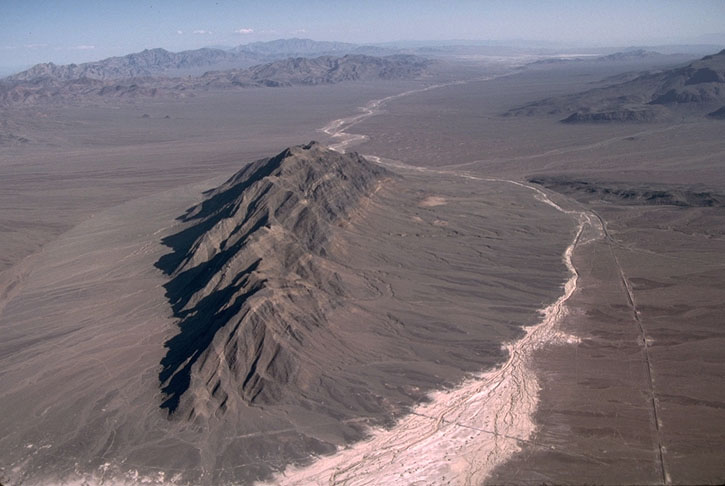 View southward over Eagle Mtn. |
 View southward from Eagle Mountain. |
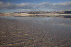 Amargosa River in flood. |
 Paleozoic rock of the Resting Spg Range. |
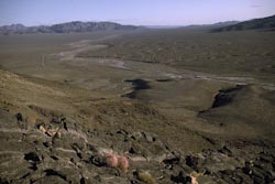
 View north over Lake Tecopa. |
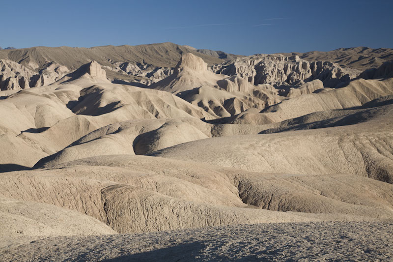 Badlands at China Ranch. |
Back to SHEAR
Go to Geological Images