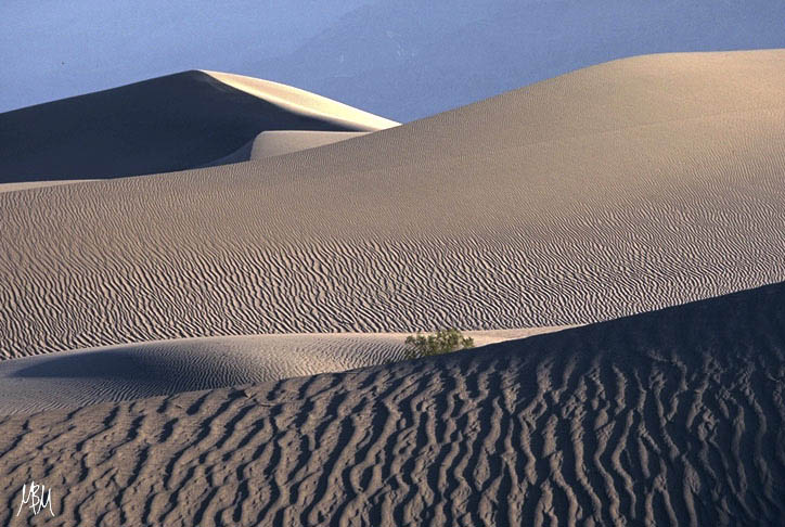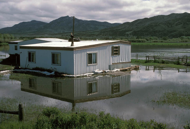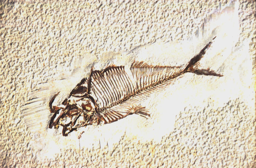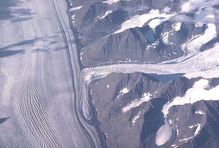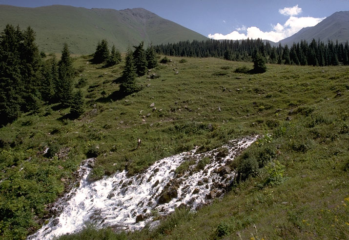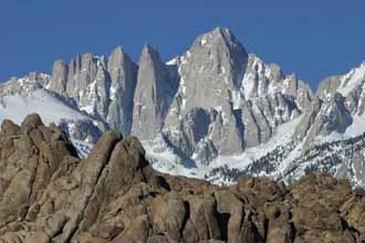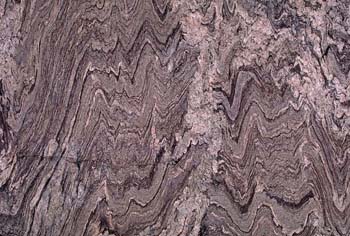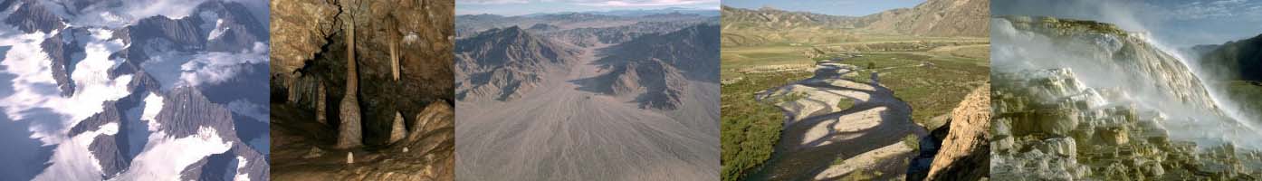
Below are 15 different categories of Earth Science, each linked to its own gallery of an additional 10-20 or so photographs that are available for free download. Below those categories are some additional links to photos of the Death Valley region and the San Andreas fault zone.
(and for anybody else, really)
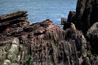
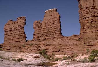
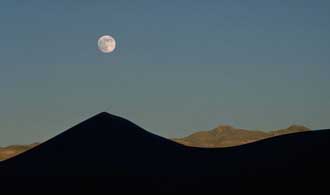
Click on any photo below to view images in that category or click here to search geology photos by keyword.
 |
Click here for photos of the San Andreas fault system.
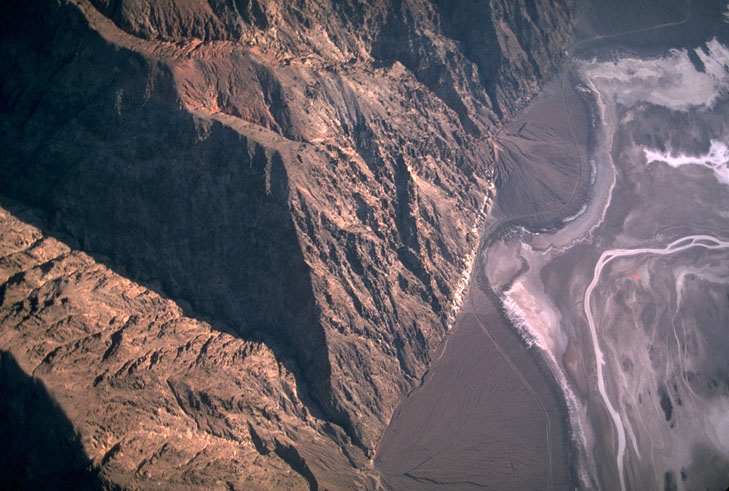
Click here for aerial photos of the Basin and Range Province, California to Utah.
Click here for Structural Geology Images and diagrams
Click here for Geologic Contacts
Click here for some Photos of the Columbia River Basalt Group.
Click here for Geologic Map of Oregon
Photos of Asbestos ...the mineral chrysotile
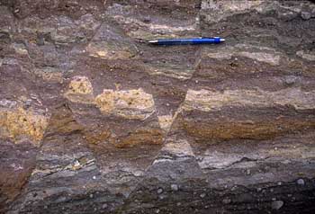
Photos of Seismites, indications of past earthquakes
Photos of Angle of Repose
Miscellaneous Geology Photos (only a few pics right now... just started this page)
Return to Geology Photos Page
Return to Home Page.