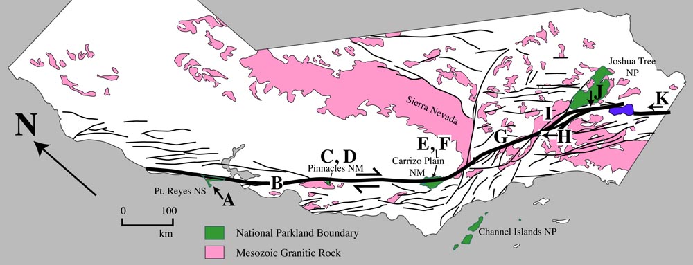
Map of San Andreas fault, showing locations of photographs
|
Click on any of the photos below for a higher resolution image and more detailed caption.
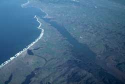 A. View north over Pt. Reyes. |
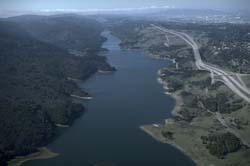 B. Fault underlies Crystal Reservoir nr. S. Francisco |
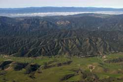 C. View SW over fault to Pinnacles NM |
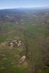
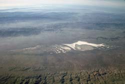 E. View SW over fault to Soda Lake. |
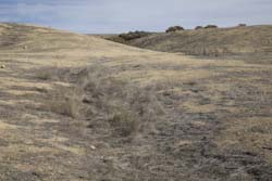 F. Offset stream channel in Carrizo Plain. F. Offset stream channel in Carrizo Plain. |
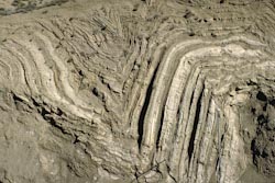 G. Folded sedimentary rock adjacent to SAF. G. Folded sedimentary rock adjacent to SAF. |
 J. View of SAF from Keyes View in J Tree NP. J. View of SAF from Keyes View in J Tree NP. |
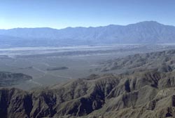
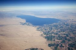 K. View north to Salton Sea. |
 D. View NW along SAF. |
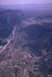 H. SAF and San Bernardino. |
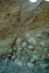 I. Faulted colluvium. |
Back to Geology Images